BEAVER BROOK RESILIENCY PLANNING
The first step towards a more resilient watershed
Location: Mill Neck, New York
Client: Seatuck Environmental Association, through funding from Long Island Sound Partnership
Services Provided: Resiliency Planning, Stakeholder Engagement
Collaborators: GZA GeoEnvironmental Inc.
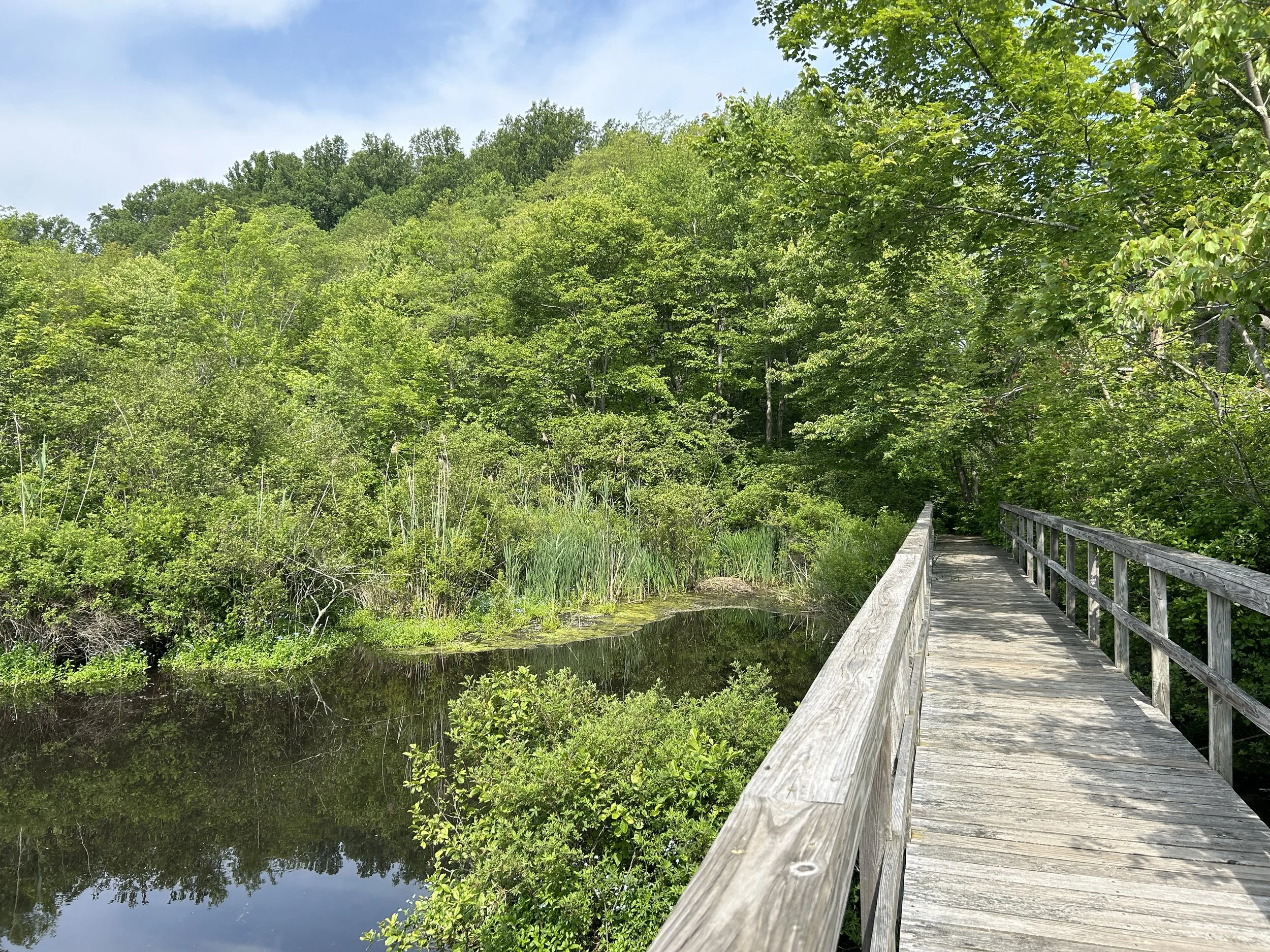
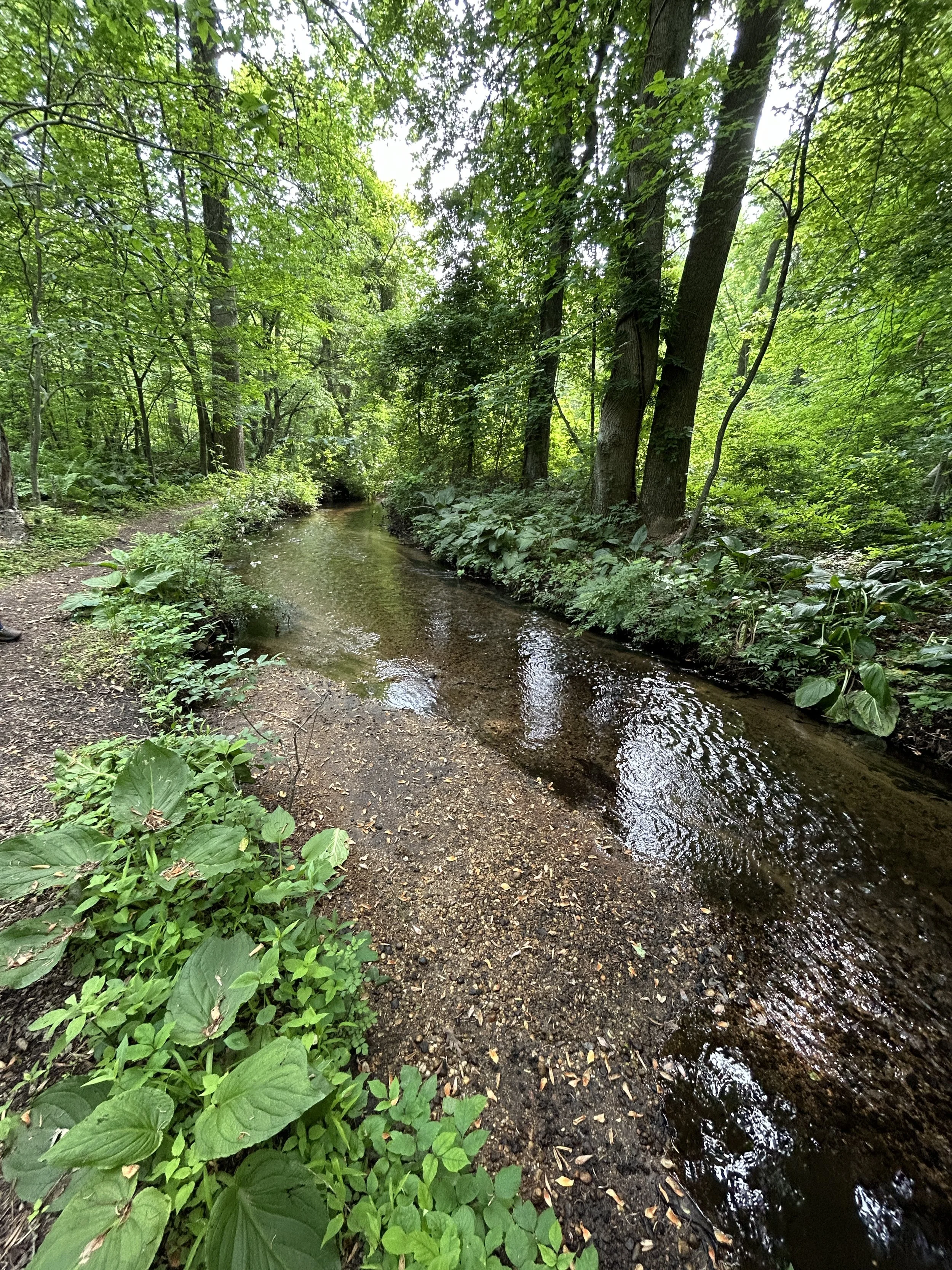
Located on Long Island, Beaver Brook flows through the North Shore Wildlife Sanctuary, Mill Neck Creek, Oyster Bay, and empties into the Long Island Sound. Over time, dams and a large causeway have segmented the waterway, disconnecting it from the natural tidal system it once supported. This fragmentation has contributed to sediment buildup, degraded habitat conditions, and increased vulnerability of surrounding infrastructure.
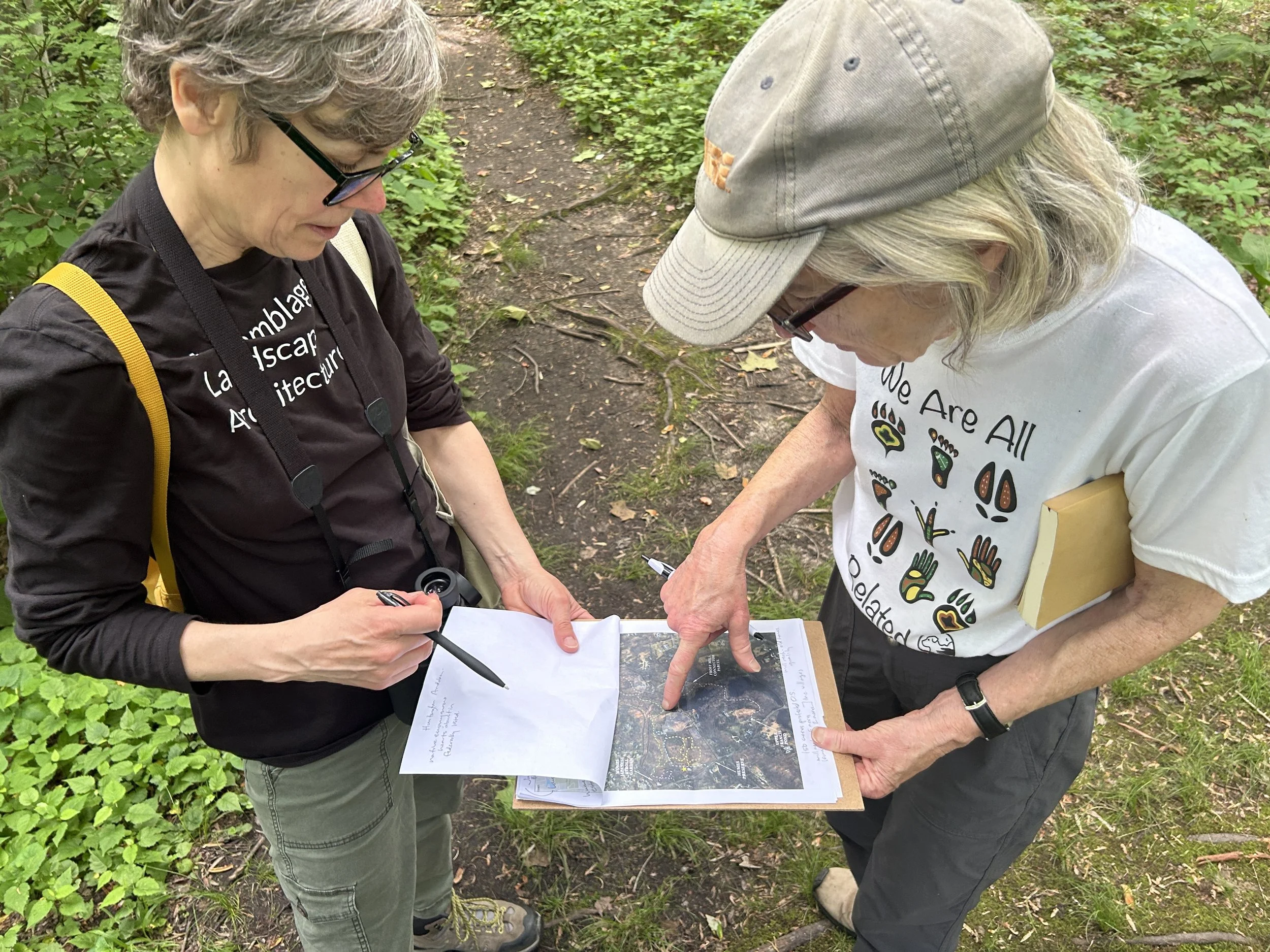
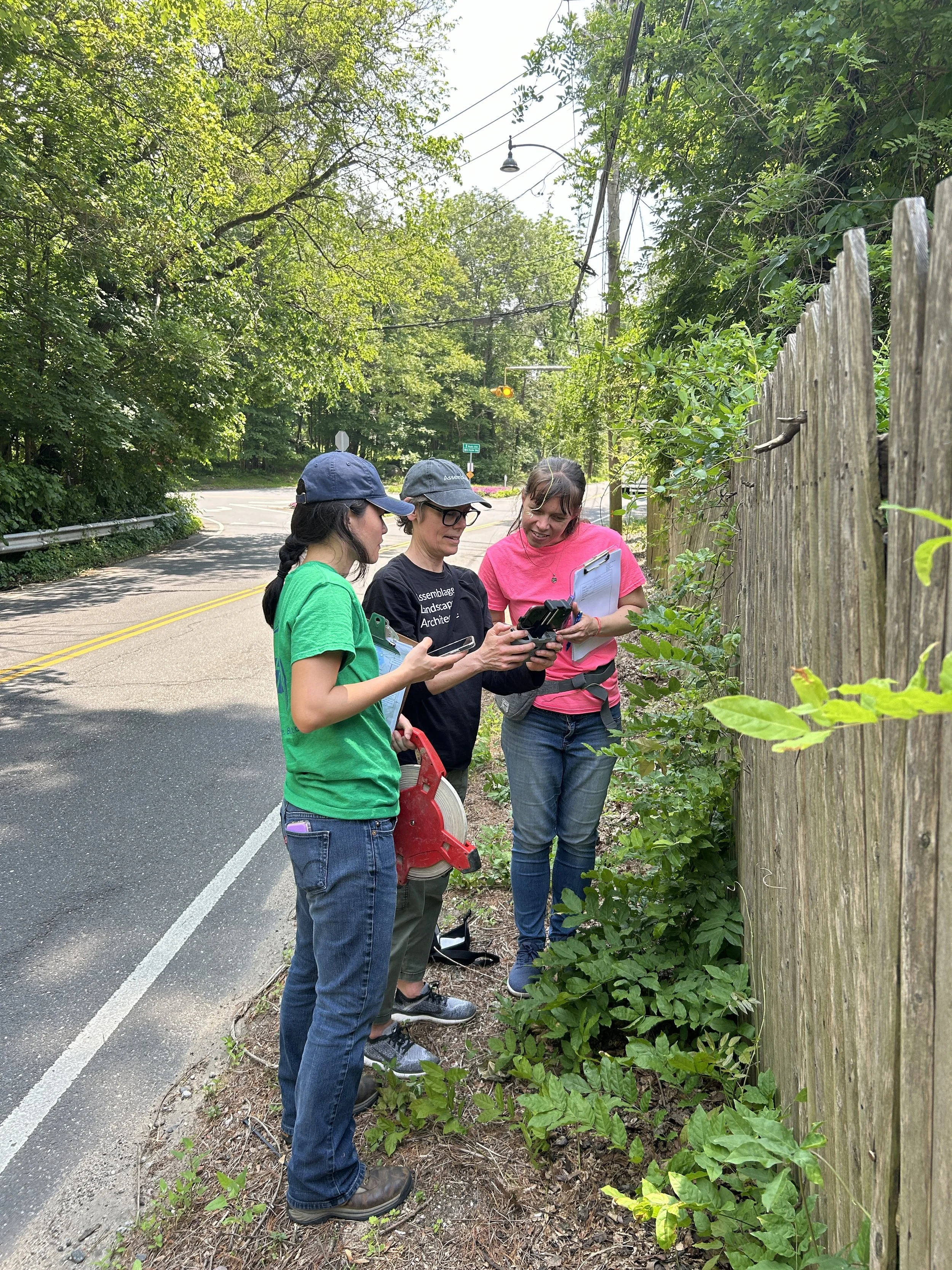
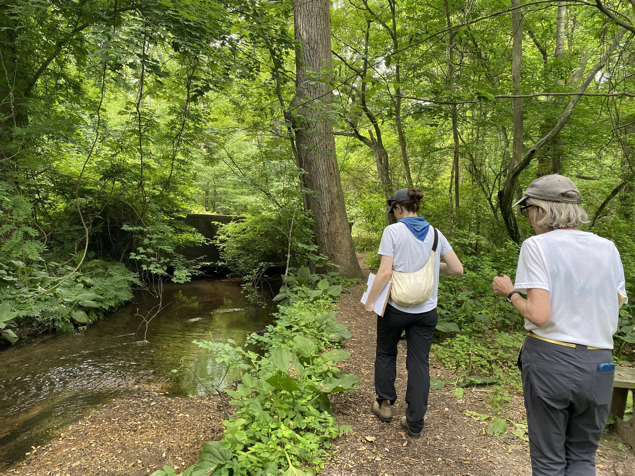
Throughout the project, the team engaged stakeholders to understand community priorities and collaboratively envision the future of Beaver Brook and its surrounding landscape. A comprehensive watershed analysis assessed local assets and resources in relation to climate change stressors, including increased precipitation, rising temperatures, and sea level rise.
The project culminated in a series of actionable recommendations designed to restore ecological function, strengthen infrastructure resilience, and support the long-term adaptability of Beaver Brook in a changing climate.
Planning for climate risk and reestablishing salt marsh connectivity
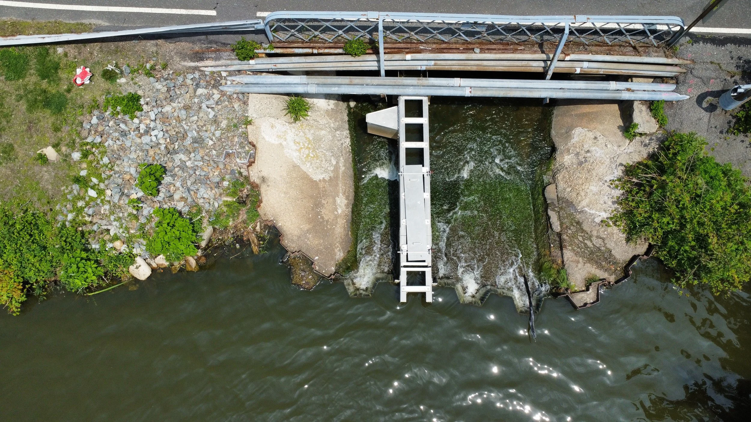
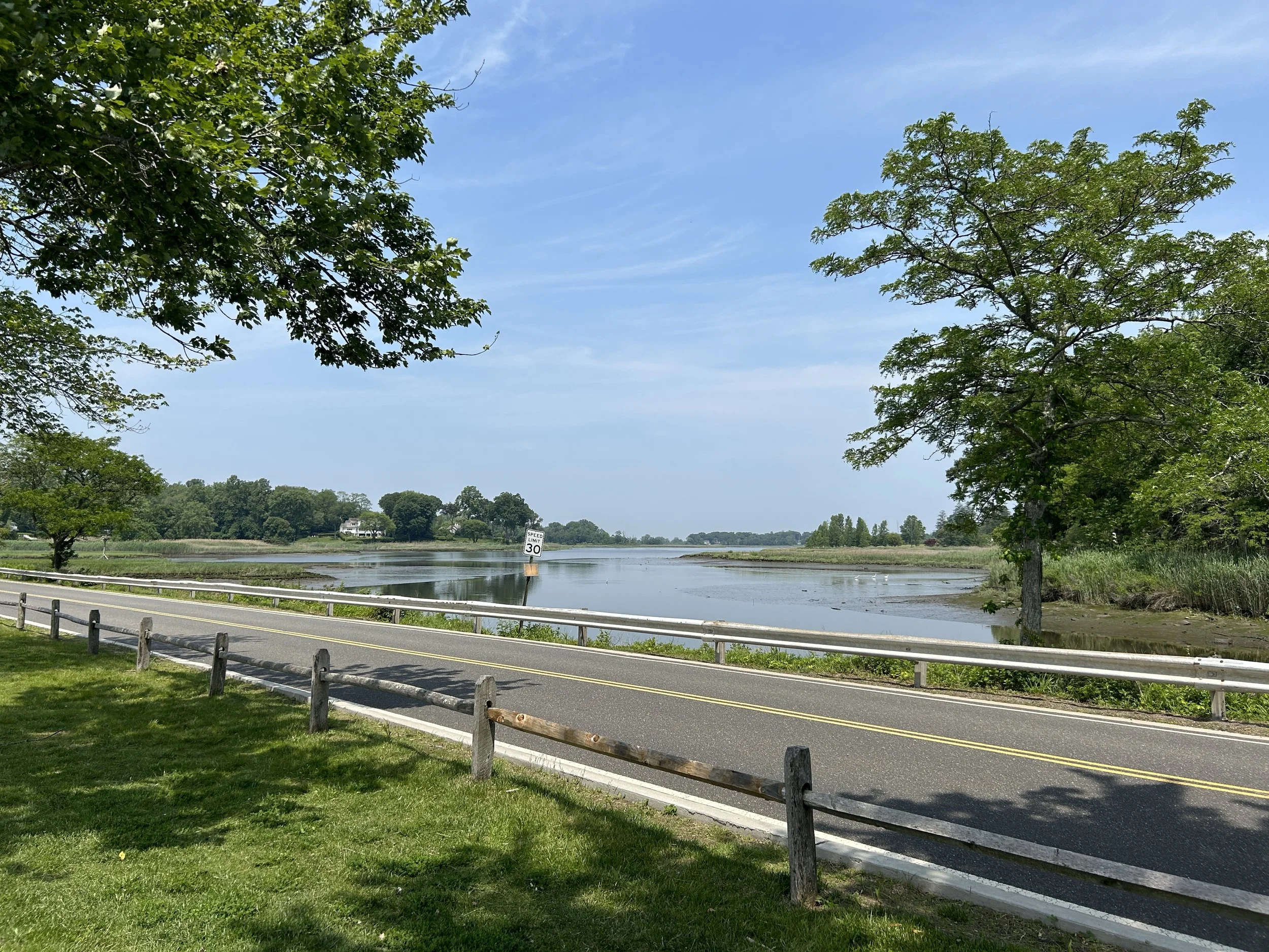
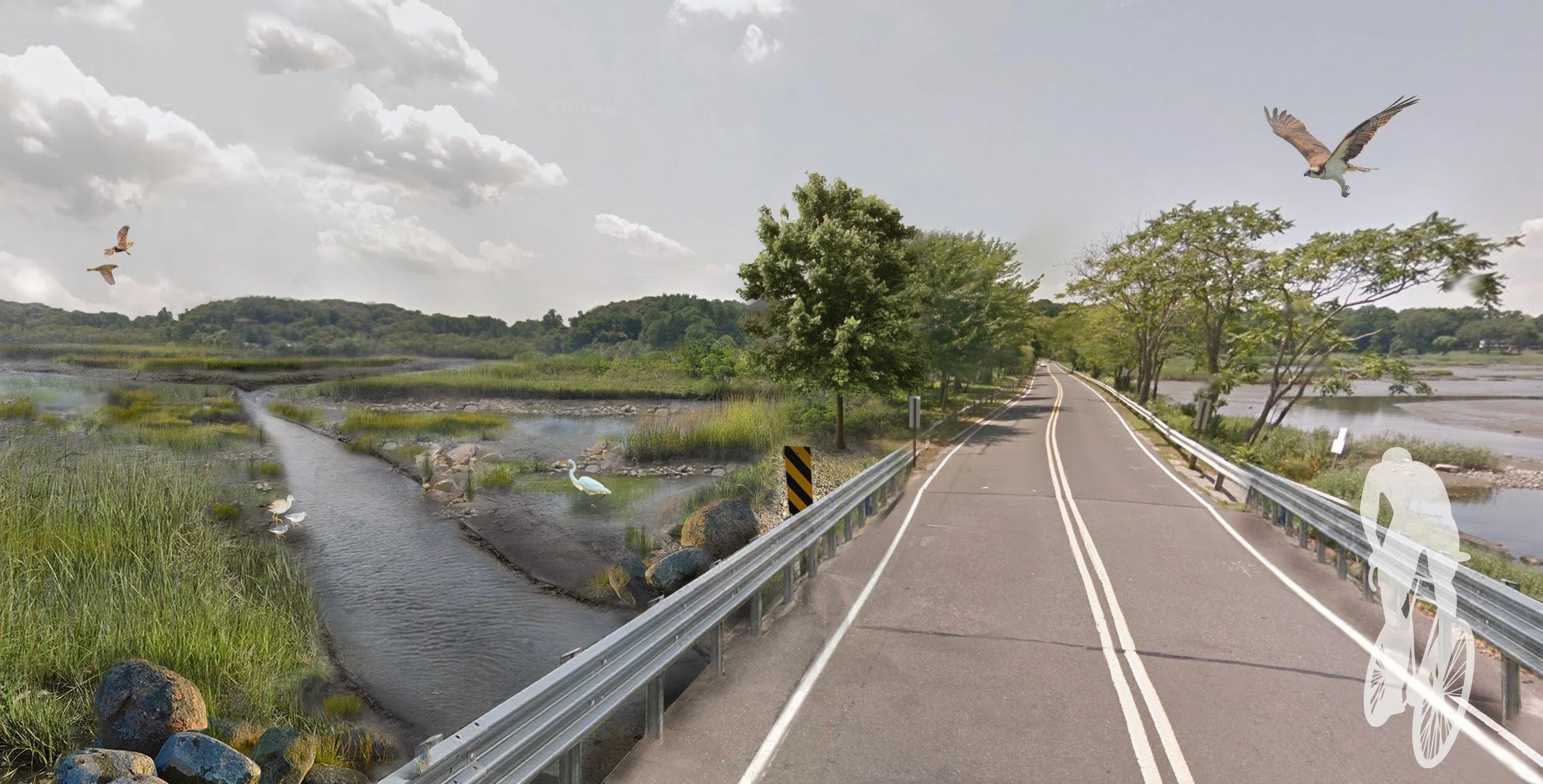
Over time, the ecology and hydrology of the Beaver Brook watershed have been fragmented by dams, spillways, and large causeways. These alterations have degraded local ecosystems and increased risks to critical infrastructure as sea levels continue to rise.
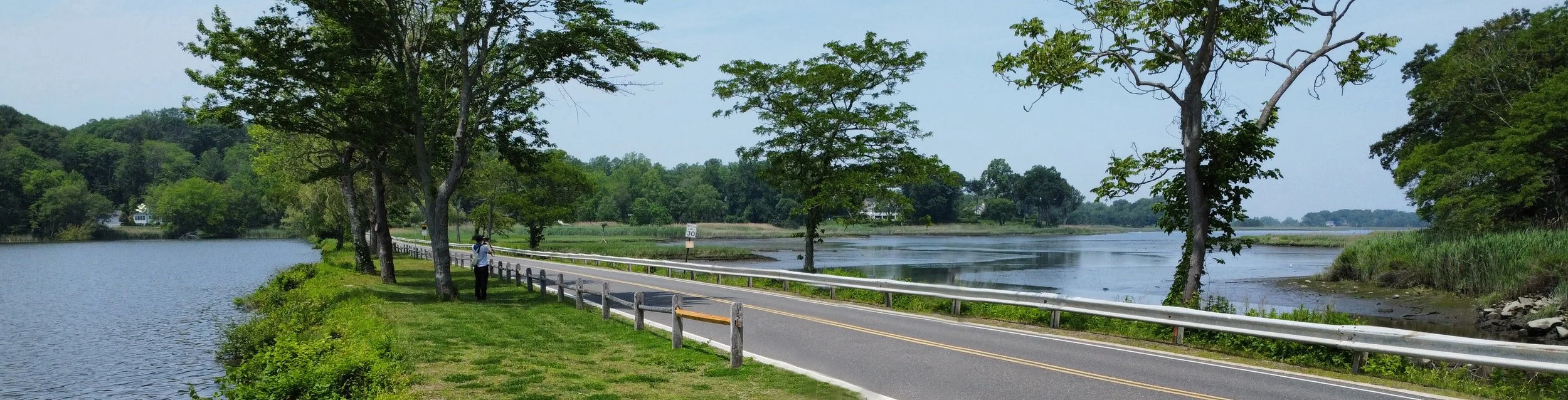
In addition to removing the dam-spillway, improvements to Cleft Road - a local thoroughfare - will improve its resilience to sea levels rise. Together, removing the spillway and elevating the roadway improve the function and long-term resilience of both community infrastructure and ecological resources.
Without action, critical infrastructure & ecological resources are vulnerable to storms and sea level rise.
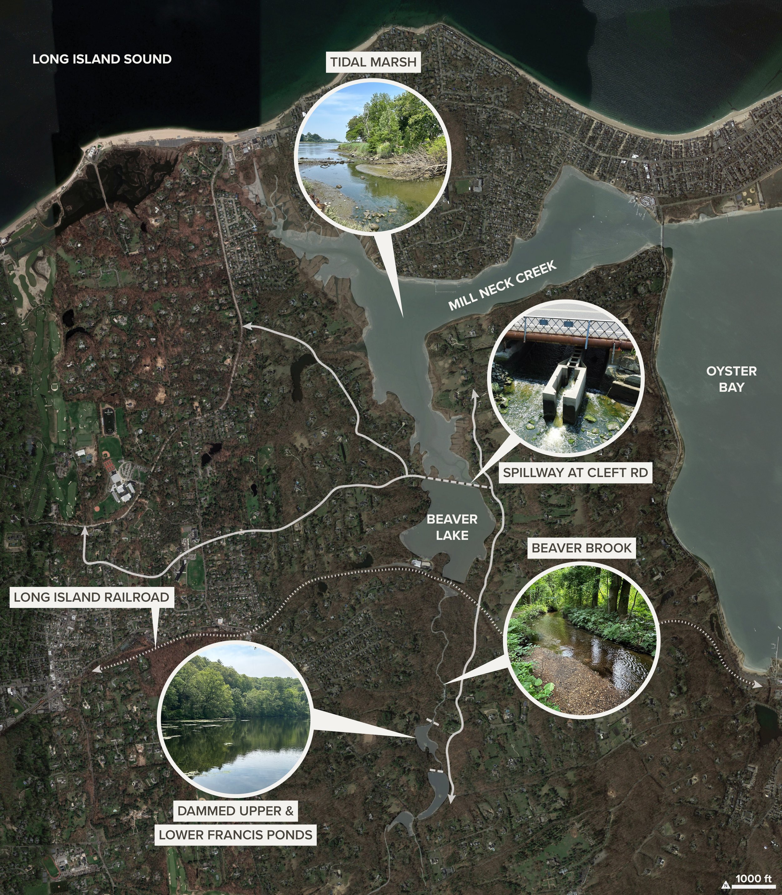
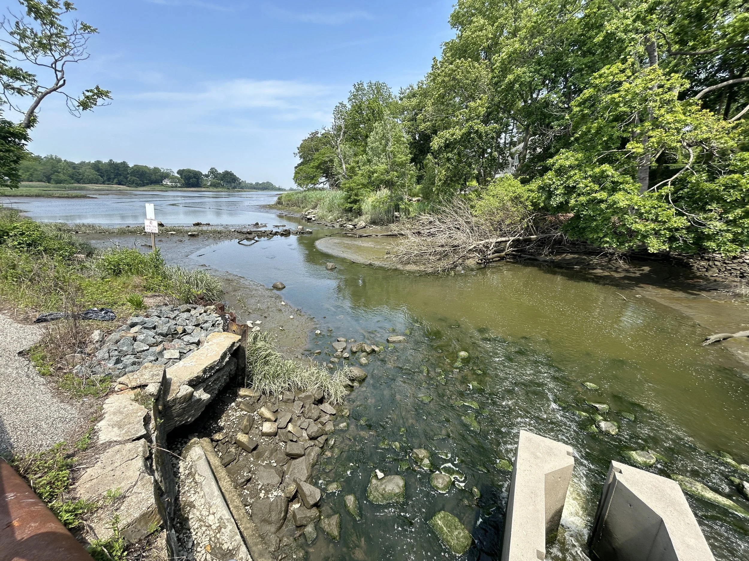
Modeling and analysis shows that removing the spillway dam at Cleft Road will allow the natural hydrologic dynamics to return to Beaver Lake, restoring it to a native tidal marsh.
Tidal exchange map by GZA.
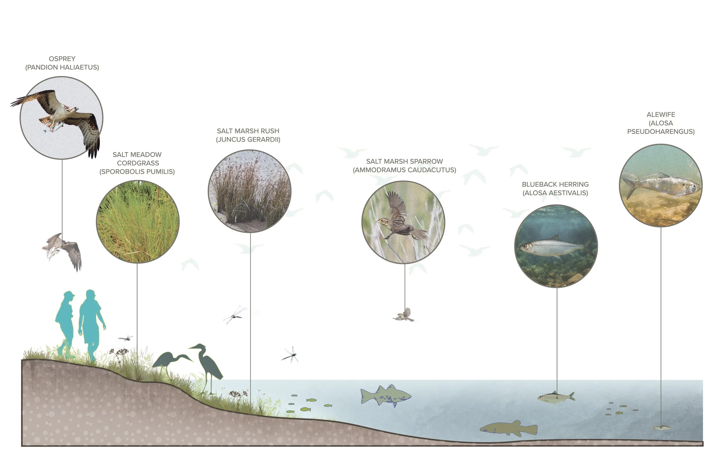
The reestablishment of natural hydraulics will provide native salt marsh habitat, a resource that is disappearing across Long Island